England experienced its wettest week in two years following back-to-back storms in late October, according to the Environment Agency. Storms Austen and Boelo, along with another area of low pressure on Monday, delivered the rainfall.
The UK now faces a markedly different weather pattern. A blocking area of high pressure will dominate across the UK as November starts, bringing up to 10 consecutive days without rain. Most areas can expect settled conditions with light winds and a prolonged spell of largely dry weather.
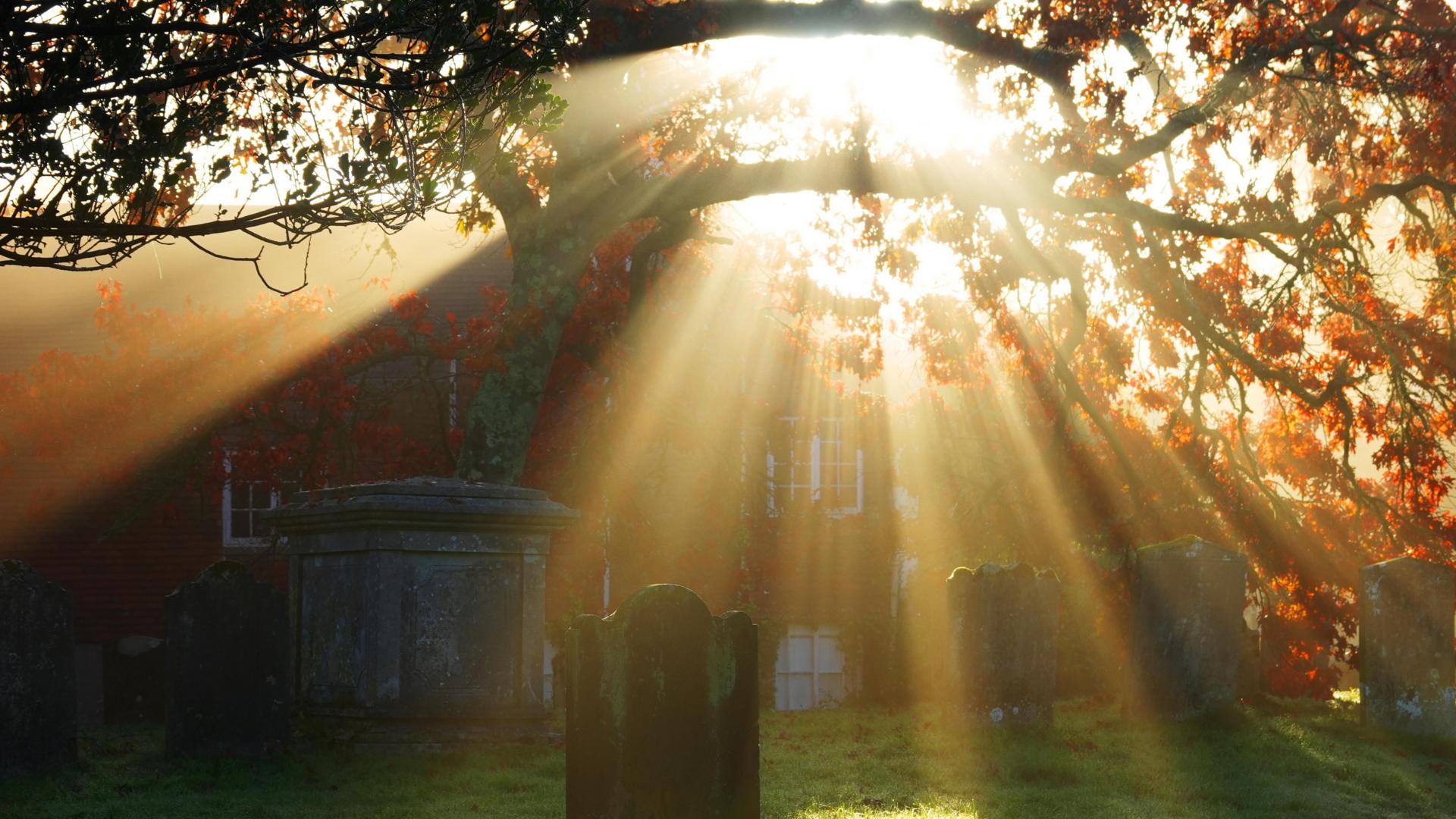
Mist and fog will remain a persistent feature, with dense patches expected during mornings that may clear slowly and cause reduced visibility and travel disruption. Once fog lifts, brighter spells should develop, though some low cloud may linger in certain areas. Temperatures are expected to gradually edge lower over the coming days, bringing a slightly cooler feel, particularly during nights and early mornings.
This settled pattern looks set to continue into early November, with little prospect of significant rainfall. However, signs suggest the pattern could shift around mid-November, when high pressure may loosen its hold and allow Atlantic low-pressure systems to approach the country. This change would bring wetter and windier weather again, with most areas probably seeing average or above average rainfall.