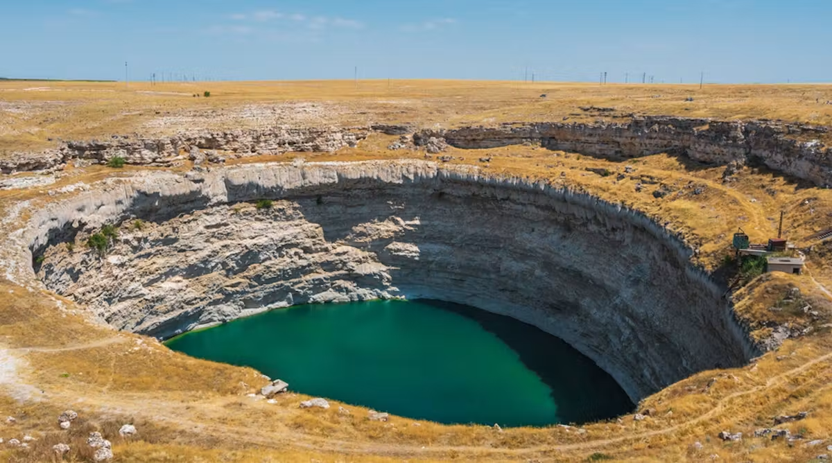
Large sinkholes are opening across Turkey's Konya basin, a major agricultural region, at a rate of around 20 per year according to a recent study. Turkey's disaster and emergency management authority has documented 684 sinkholes across Konya, Karaman and Aksaray.
Known locally as obruks, these sinkholes have existed in the region for thousands of years but have become far more frequent in recent decades. A study examining sinkhole formation between 2000 and 2024 found a sharp increase in the annual formation rate, rising from approximately three sinkholes a year during 2000-10 to 32 during 2016-19, before declining to around 22 a year after 2020.
The collapses occur suddenly, sometimes swallowing farmland and threatening roads and settlements. Intensive groundwater extraction for agriculture, combined with drought and climate change, has altered the conditions beneath the basin's surface. Groundwater loss in the region has averaged 3.4 centimetres of water per year. When groundwater levels fall, pressure within rock pores and fractures decreases, potentially destabilizing existing underground cavities.
The Konya basin contains extensive carbonate rocks, including limestone. Over long periods, groundwater dissolves minerals and enlarges underground openings through a process called karstification, creating channels, caves and cavities. Sinkholes form when material above these voids becomes unstable.
Lower groundwater levels can shift loose material downward within underground cavities. Where cavity roofs are already weak, these changes may lead to collapse. Yet sinkhole formation depends on the number of unstable underground structures, not simply on water volume extracted. This may explain why the formation rate declined after 2020 despite continued groundwater depletion, as the most vulnerable cavities in some areas may have already collapsed.
The region also experiences land subsidence, where the surface gradually sinks as underground sediments compact. Satellite radar measurements revealed subsidence of up to 90 millimetres per year in some areas.
A long-term response would require monitoring of groundwater levels and withdrawals, enforceable extraction limits, agricultural incentives aligned with water availability and detailed mapping of geological hazards, according to the article.