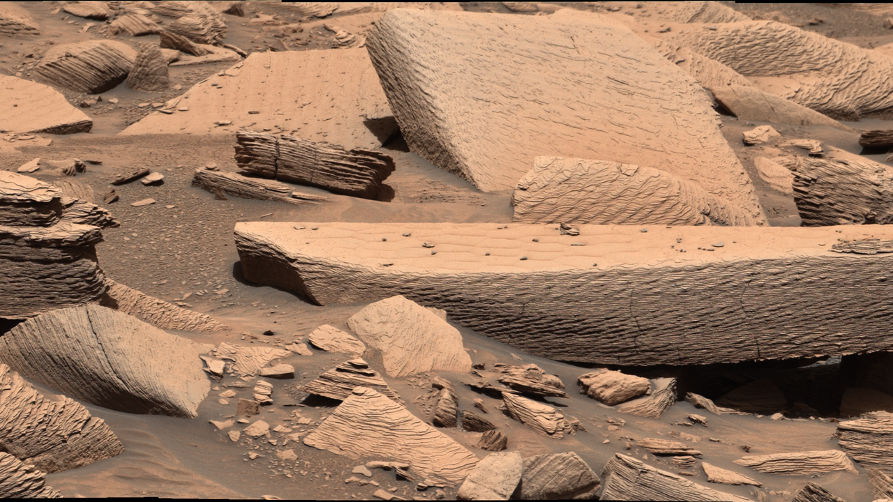
A newly captured image reveals the scarred landscape left behind by an ancient sandstorm on Mars, showing how violent atmospheric events have shaped the red planet's geology over millions of years.
The photograph documents wind-carved terrain and debris patterns etched into the Martian surface, evidence of the planet's tumultuous climate history. Mars experiences some of the solar system's most intense dust storms, some large enough to envelope the entire planet. These events, which can rage for months, fundamentally alter surface features and deposit materials across vast distances.
The image comes from orbital imaging instruments that continue to map Mars with unprecedented detail. Space agencies have used such data to reconstruct the planet's atmospheric and geological evolution, revealing how sandstorms have progressively reshaped the landscape over billions of years.
Ancient Martian storms left permanent marks on the surface through abrasion and sediment redistribution. Wind-blown particles carved formations, created dunes, and layered different mineral deposits. These processes remain active today, though Mars now has a much thinner atmosphere than in its early history, resulting in less frequent and powerful storms than billions of years ago.
Understanding these erosion patterns helps scientists piece together Mars' climate timeline and atmospheric density changes. The scars visible in the photograph serve as geological records, allowing researchers to estimate storm intensity and frequency from ancient periods.
This type of orbital imagery supports multiple Mars missions and research programs studying planetary climate change and surface evolution. The data informs future rover missions and helps identify regions of scientific interest, including areas where water may have pooled or where minerals formed under different atmospheric conditions.