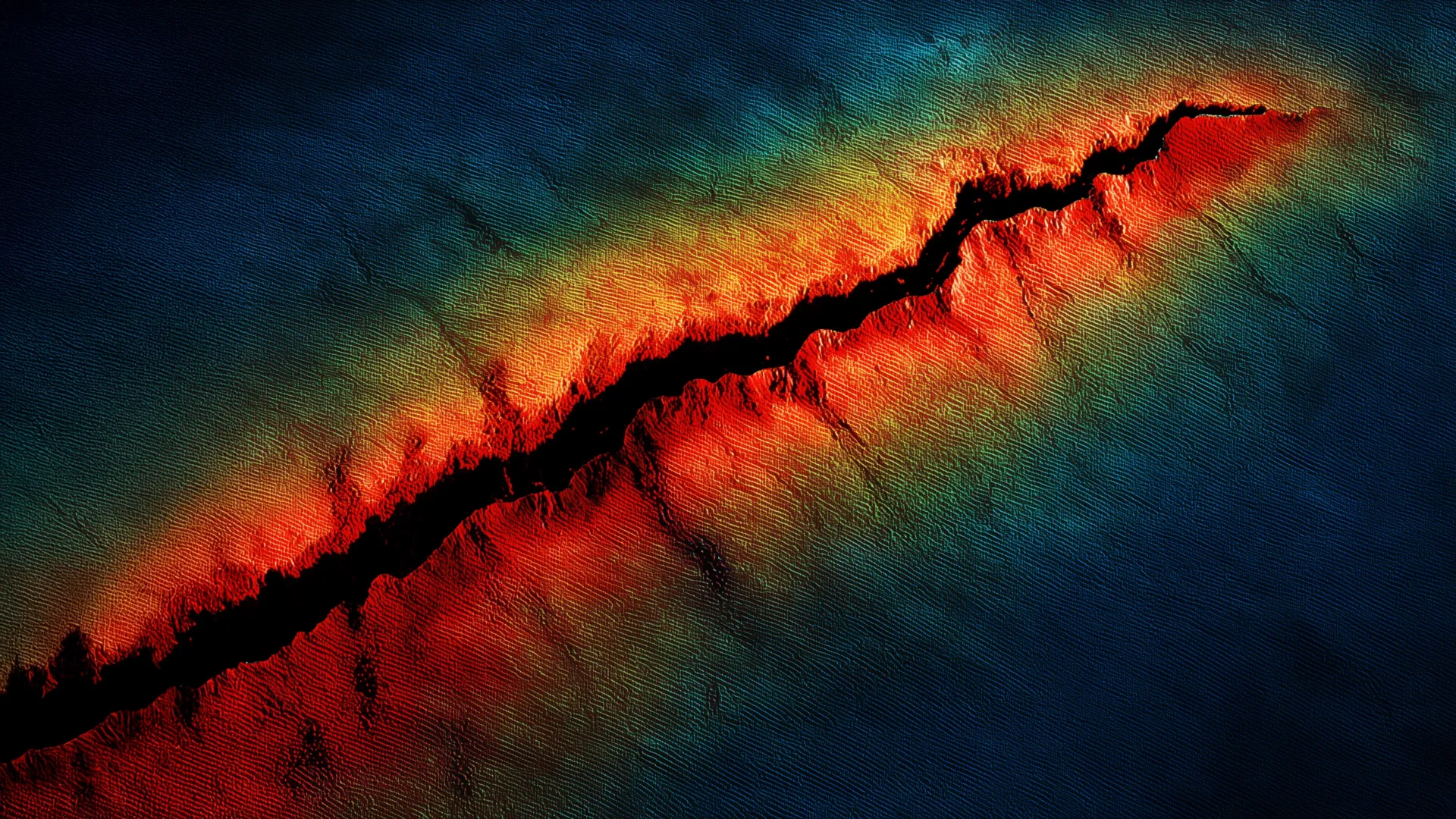
Geophysicists have identified geological features beneath Oregon that could amplify earthquake damage from the next Cascadia megathrust rupture, intensifying seismic hazards for the Pacific Northwest region.
A team of scientists discovered that the Juan de Fuca oceanic plate, which subducts beneath North America along the Cascadia subduction zone, sits shallower than previously mapped in the region north of Oregon. This geometry matters enormously. Shallower subduction angles produce earthquakes closer to population centers, generating stronger ground shaking. The finding emerged from detailed seismic imaging of the offshore and onshore structure along the Cascadia margin.
Compounding this hazard, researchers also identified a deep sedimentary basin lying beneath the city of Tillamook, Oregon. Soft sediments in such basins function as seismic amplifiers. When earthquake waves enter these loose materials, they slow down and grow taller, a phenomenon called resonance. The trapped and intensified waves create more violent ground motion than would occur over bedrock.
"The combination of a shallower subduction zone and this deep basin structure means that shaking in northern Oregon could be substantially worse than current hazard models predict," explains the research team's findings based on geophysical surveys.
The Cascadia megathrust represents one of North America's most dangerous faults. This 700-mile-long subduction zone stretches from northern California through Oregon and Washington to British Columbia. The last megathrust earthquake there occurred in 1700, with magnitude estimated at 8.7 to 9.2. Sediment cores, tsunami deposits, and oral histories from Indigenous peoples provide evidence of that catastrophic event. Scientists widely agree another rupture will occur, though timing remains uncertain.
Oregon's northern coast faces particular vulnerability. Cities like Tillamook, Seaside, and Cannon Beach sit directly above the subduction zone with limited evacuation routes. The shallow Juan de Fuca geometry means rupture could nucleate closer to shore than in southern Cascadia. The deep basin beneath Tillamook specifically creates a local amplification zone.
This research builds on decades of Cascadia monitoring conducted by the U.S. Geological Survey, Pacific Northwest Seismic Network, and university teams. Modern offshore seismic arrays have progressively refined understanding of subduction zone structure. Each advance in imaging reveals new details about what a future rupture could produce.
The findings underscore why the Pacific Northwest maintains one of North America's most extensive earthquake early warning networks. Rapid detection systems cannot prevent shaking but provide seconds to minutes for people to take protective action. Schools, hospitals, and utilities across Oregon and Washington incorporate Cascadia scenarios into their emergency planning.
Policymakers have begun addressing the megaquake threat more seriously in recent years. The 2011 Tohoku earthquake in Japan, which devastated coastal communities through both shaking and tsunami, prompted renewed attention to Cascadia risks. Oregon updated its earthquake building codes and initiated seismic retrofitting programs for critical infrastructure.
This latest research demonstrates that coastal northern Oregon requires particularly stringent earthquake preparedness measures. Engineers designing new infrastructure or retrofitting existing structures near Tillamook now have better data for modeling realistic ground motions. The shallow subduction geometry and basin effects suggest that standard building codes, developed partly on older hazard estimates, may not provide adequate safety margins for the region's most exposed communities.