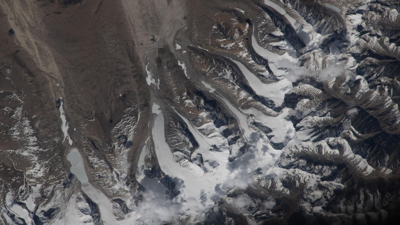
A satellite image captured by NASA reveals glacier movement across the Himalayas in unprecedented detail, showing how massive ice formations carve pathways down mountainsides. The photo, released as Space.com's space image of the day for July 15, 2026, demonstrates the power of modern orbital imaging to track environmental changes in Earth's most remote regions.
The Himalayan range contains some of the world's largest glaciers outside the polar regions. These ice masses flow downslope under their own weight, reshaping terrain over decades and centuries. Satellite observation allows scientists to monitor this movement without field expeditions to dangerous, high-altitude environments.
The image captures glacial flow patterns that reveal how ice responds to gravity and terrain. Researchers use such satellite data to measure glacier retreat rates, which serve as indicators of climate change. The Himalayas face particular scrutiny because glacial melt affects water supplies for billions of people across South Asia.
Space-based imaging has revolutionized glaciology. Instruments aboard satellites can detect subtle shifts in ice elevation and flow velocity by comparing images taken months or years apart. This approach provides continuous monitoring impossible through ground-based surveys alone.
The photograph underscores why space agencies prioritize Earth observation. While spectacular images of distant planets capture public imagination, satellites monitoring our own planet deliver practical data on environmental conditions. The Himalayas represent a critical region where glacier behavior signals broader climate trends affecting weather patterns and water resources globally.
Tracking glacier movement from orbit continues to yield insights into how ice responds to warming temperatures, informing climate models and policy decisions about future water availability in Asia.