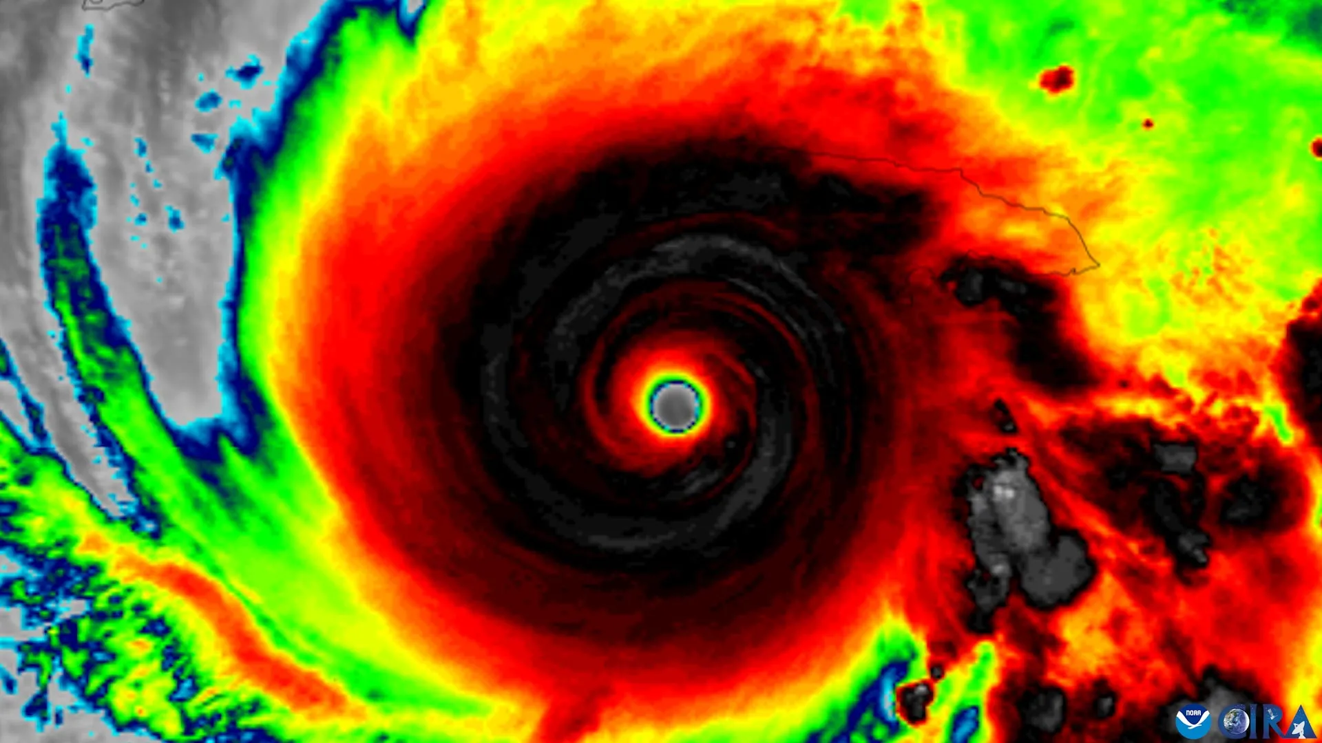
# Hurricane Hunters Identify Four Early Warning Signs of Storm Intensification
Researchers analyzing nearly three decades of Hurricane Hunter aircraft data have identified four distinct features that signal when a tropical cyclone is about to strengthen, potentially giving meteorologists precious hours to refine forecasts and issue updated warnings.
The study examined data collected by the National Oceanic and Atmospheric Administration's Hurricane Hunter aircraft, which fly directly into storms to gather real-time measurements. Researchers focused on a phenomenon called "tilt" - the vertical misalignment of a hurricane's circulation that typically inhibits intensification. When storms straighten this tilt, they become structurally organized and capable of rapid strengthening.
The four warning signs reveal physical processes that precede storm organization. When forecasters observe these features in real-time data from aircraft reconnaissance, they can identify storms transitioning from a disorganized state to one primed for intensification. This matters because rapid strengthening catches communities off guard. A hurricane that appears manageable on Monday can become catastrophic by Wednesday if it undergoes explosive intensification.
Tropical cyclones typically require organized circulation to intensify. Environmental shear, wind patterns that tear at the storm's structure, creates tilt and prevents development. When conditions shift and shear weakens, storms can rapidly realign their circulation vertically. During this reorganization window, the four features become detectable signatures that forecasters can use operationally.
The research builds on fundamental hurricane meteorology established over decades. However, the specific identification of these four features from comprehensive Hurricane Hunter datasets represents a step forward in predictability. Aircraft reconnaissance remains invaluable because satellites cannot penetrate storm interiors to measure wind speeds and structure directly. Hurricane Hunters provide the ground truth that validates forecasting models and reveals physical processes hidden from satellite view.
The implications extend beyond academic interest. The National Hurricane Center's official forecasts include intensity predictions alongside track forecasts. These intensity predictions remain less accurate than track forecasts, partly because rapid intensification happens unpredictably. By identifying organizational signals earlier, forecasters gain lead time to adjust intensity predictions and alert emergency managers to prepare for potentially stronger storms than initially expected.
However, the findings face real-world limitations. Hurricane Hunter reconnaissance has constrained resources. Not every storm receives aircraft visits at the optimal moment to detect these warning signs. Additionally, the four features must be reliably identified in noisy observational data during active tropical cyclone season when forecasters juggle multiple systems. The research team did not specify whether artificial intelligence or machine learning methods could automate detection of these features, though such applications seem promising.
The dataset spanning nearly 30 years represents roughly 1,000 or more hurricane reconnaissance missions. This sample size provides statistical confidence in the patterns identified. The research likely appeared in a meteorology journal focused on tropical cyclones, though the announcement came through ScienceDaily rather than direct journal publication.
Forecasters will test these warning signs operationally during the next Atlantic hurricane season. Success depends on whether the four features remain consistent across different storm types and ocean basins. Future work should examine whether the features apply equally to storms forming over the eastern Pacific or western Pacific basins, where different environmental conditions influence intensification.