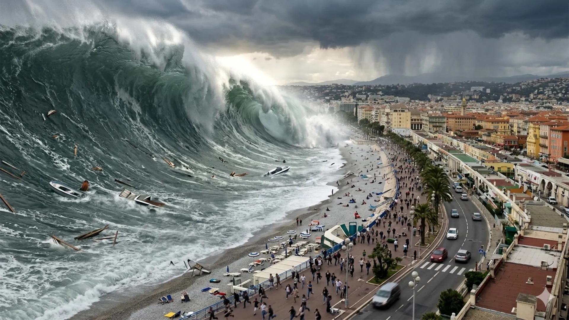
UNESCO's tsunami warning arm has concluded that the Mediterranean region faces near-certain risk from destructive waves generated by underwater earthquakes and landslides, prompting urgent reassessment of coastal preparedness across southern Europe.
The organization's analysis, based on historical records and computational modeling, reveals that the Mediterranean possesses multiple active fault zones capable of generating significant seismic events. These faults lie beneath the seafloor near major population centers along the French Riviera, Italian coast, and Greek islands. When movement occurs along these faults, water displacement can trigger waves that travel across the basin at speeds up to 800 kilometers per hour.
The timeframe for impact creates particular hazard. Tsunamis originating from nearby submarine earthquakes can reach European beaches in fewer than 10 minutes, providing minimal opportunity for evacuation. Historical events documented in the Mediterranean produced waves reaching two meters in height, accompanied by powerful currents capable of destroying coastal infrastructure, capsizing vessels, and causing fatalities among swimmers and beachgoers.
The modeling studies that inform UNESCO's assessment employ sophisticated algorithms to simulate tsunami generation, propagation, and coastal amplification. Researchers feed in earthquake parameters derived from seismic catalogs spanning centuries, then calculate wave behavior as energy travels across varying water depths. These simulations demonstrate that the Mediterranean's geography—with its narrow passages, submarine canyons, and enclosed basin structure—can actually amplify wave heights as they approach shore.
Past Mediterranean tsunamis remain instructive. The 1755 Lisbon earthquake, though centered off Portugal, generated waves that struck Mediterranean coasts. The 1956 Amorgos earthquake near Greece produced a two-meter tsunami that caused damage across multiple islands. Archaeological evidence suggests even larger prehistoric events, with tsunami deposits found in coastal sediments indicating waves far higher than modern historical records show.
The near-certainty assessment stems from probability calculations derived from earthquake frequency and magnitude distributions along known faults. Given the Mediterranean's active tectonics, the statistical likelihood of at least one tsunami occurring during any human lifetime approaches 100 percent across the entire basin. This differs from saying a devastating event is imminent, but rather reflects the eventual nature of seismic activity in this region.
Coastal cities including Nice, Barcelona, Athens, and Istanbul face elevated exposure. Tourism infrastructure, residential development, and port facilities cluster directly along shorelines where tsunamis would strike first. Many beach communities lack functional early warning systems, and public awareness of tsunami risk remains minimal compared to Pacific regions where cultural memory of tsunamis influences preparedness.
UNESCO's warning aligns with broader European earthquake science showing that the Mediterranean's collision between African and Eurasian plates generates continuous tectonic stress. This stress accumulates over years and decades, then releases suddenly during earthquakes. Submarine landslides triggered by earthquakes or geological instability compound the hazard, as displaced seafloor sediment creates additional wave generation mechanisms.
Response measures include establishing sea-level monitoring networks, developing smartphone alert systems, conducting public education campaigns, and improving coastal building codes. Several Mediterranean nations have begun implementing these steps, but coordination remains fragmented. The warning underscores that even historically quieter tsunami zones require the same risk management rigor as the Pacific Ring of Fire.