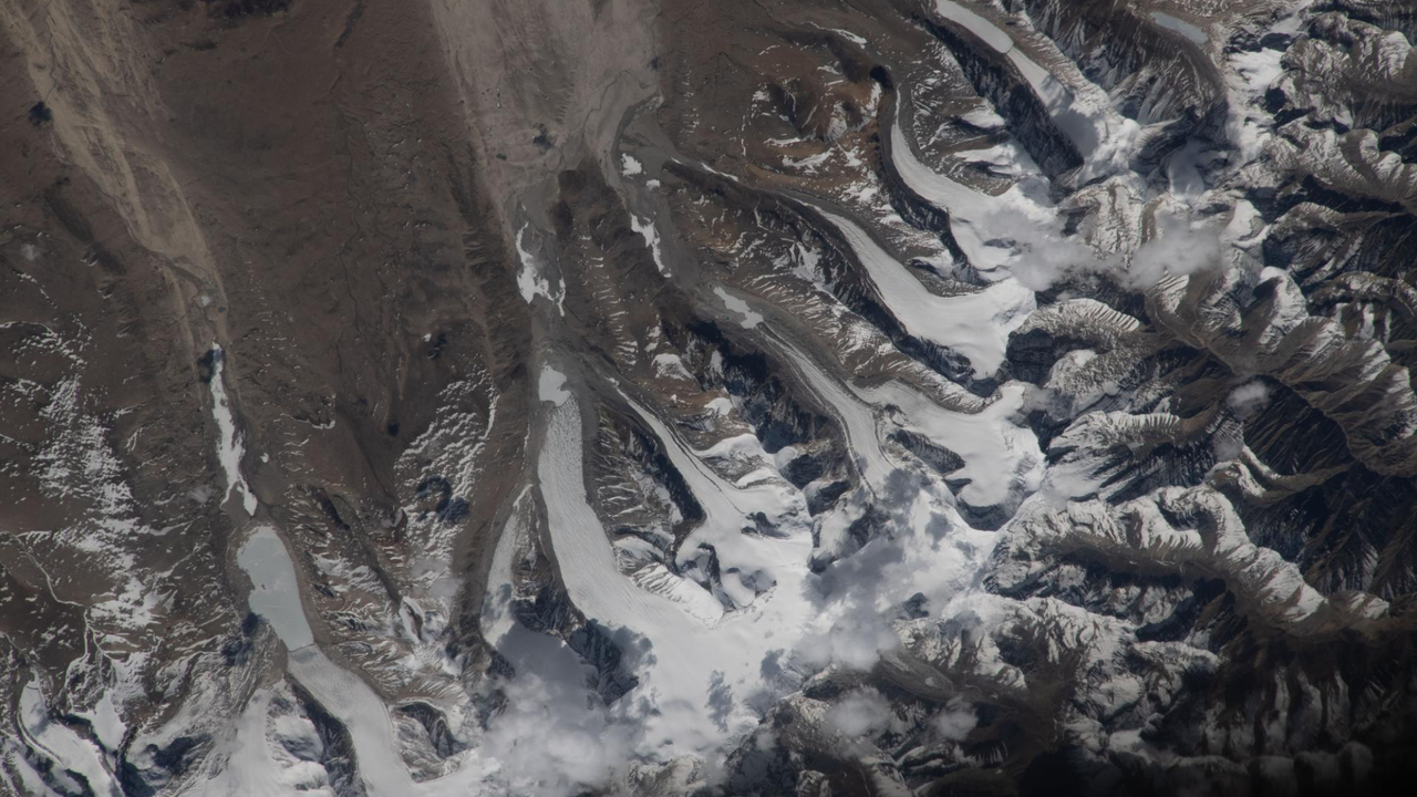
A new satellite image captured flowing glaciers across the Himalayan mountain range, revealing the dynamic movement of ice masses that reshape terrain over time. The photograph, featured as Space.com's space photo of the day, shows how glacial ice carves downslope through valleys and across the landscape.
Glaciers move constantly, though often imperceptibly to ground observers. Satellite imagery enables scientists to track this motion with precision, measuring the speed and direction of ice flow across entire mountain systems. The Himalayas contain some of the world's largest glacier networks outside the polar regions, holding freshwater reserves that supply millions of people downstream across South Asia.
The visual demonstrates how modern space-based observation transforms glaciology research. Satellites equipped with high-resolution cameras can detect subtle shifts in glacier position between image captures, allowing researchers to monitor changes that occur over weeks or months. This capability proves especially valuable in remote, inaccessible mountain regions where ground surveys are logistically difficult.
Glacier flow rates provide critical data for understanding climate impacts on water resources. Accelerating movement sometimes indicates instability or response to warming temperatures. Conversely, stable or slowing glaciers suggest different environmental conditions. By establishing baseline measurements through repeated satellite observations, scientists build comprehensive records of how these ice masses respond to environmental change.
The Himalayan glaciers face particular scrutiny because they feed major river systems including the Indus, Ganges, and Brahmaputra. Hundreds of millions of people depend on glacier-fed water for drinking, irrigation, and hydropower. Tracking glacier behavior from space helps governments and water managers anticipate changes in water availability and plan infrastructure accordingly.
Satellite glaciology represents a relatively recent advancement in environmental monitoring, enabled by improvements in imaging resolution and data accessibility over the past two decades. The method complements traditional field measurements and computer modeling, offering a comprehensive view of how glaciers behave across vast