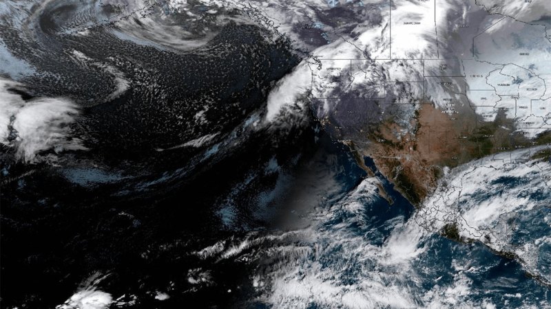
Researchers have created the first comprehensive global map of atmospheric rivers, revealing narrow corridors of moisture that transport water vapor across continents and oceans. These "sky highways" deliver precipitation that sustains ecosystems and human water supplies, but also trigger catastrophic floods when they intensify.
Atmospheric rivers are concentrated bands of water vapor in the atmosphere, typically 250 to 375 miles wide and thousands of miles long. They account for roughly 90 percent of the total moisture transported from tropics toward the poles. The new mapping effort identifies where these rivers form, how they move, and where they deposit their water.
The research appears in a peer-reviewed study that analyzed satellite data, weather observations, and climate models to track atmospheric rivers globally. Scientists identified regions where atmospheric rivers converge and dissipate, mapping the pathways with unprecedented detail. The work reveals that certain geographic areas act as moisture funnels, concentrating water vapor from vast regions into narrow zones of intense precipitation.
Understanding these pathways carries practical implications. When atmospheric rivers make landfall, they routinely cause flooding and mudslides. California experiences significant winter damage from atmospheric rivers, while other regions face similar hazards. Conversely, the absence of atmospheric rivers contributes to drought conditions. The map allows meteorologists to predict where moisture will concentrate and when drought risk increases in specific areas.
The researchers note that atmospheric river patterns may shift with climate change. Warmer air holds more moisture, potentially intensifying these moisture highways. The new global map provides a baseline for tracking how these systems evolve.
The work builds on decades of atmospheric science but represents the first effort to systematically chart atmospheric rivers worldwide. Previous research focused on regional systems or theoretical models. This global perspective enables better water resource planning and flood forecasting across multiple continents.
Scientists caution that the map reflects current climate conditions. As temperatures rise, the intensity and frequency of atmospheric rivers may