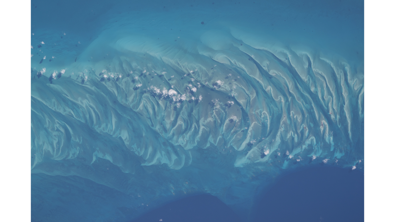
NASA satellites captured a stunning view of the Bahamas' turquoise waters in July 2026, revealing the distinctive color gradients that make the Caribbean archipelago one of Earth's most visually striking regions from orbit.
The image, released as Space.com's space photo of the day, shows the shallow tropical waters surrounding the islands displaying their characteristic bright blue and turquoise hues. These colors result from sunlight reflecting off white sand and limestone seafloor in shallow areas, combined with the scattering of blue wavelengths in deeper waters. The contrast between the pale turquoise shallows and deeper navy blue creates sharp boundaries visible from space.
Satellite imagery of coastal regions like the Bahamas serves multiple scientific purposes beyond aesthetics. Scientists use such observations to monitor water quality, track sediment movement, and study phytoplankton blooms that can indicate ecosystem health. The high-resolution data helps researchers understand coastal dynamics and changes over time.
The Bahamas archipelago stretches across approximately 100,000 square miles of ocean, comprising more than 700 islands and cays. Its shallow banks and clear waters make it an ideal subject for orbital photography, which regularly captures dramatic evidence of the islands' geography and surrounding marine environment.
Space-based Earth observation has become invaluable for coastal management and environmental monitoring. The clarity of satellite imagery from platforms operated by NASA and other space agencies provides perspectives impossible to achieve from ground level, allowing scientists and officials to track environmental changes and support conservation efforts.
The striking appearance of the Bahamas from space demonstrates how orbital platforms offer both scientific utility and visual reminders of Earth's natural beauty.