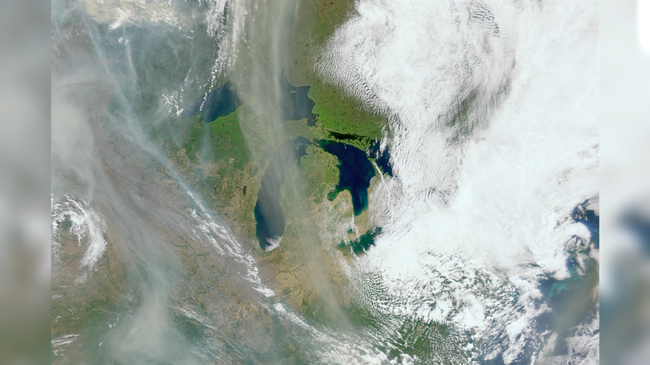
A NASA ocean-monitoring satellite designed to track sea-surface temperatures and water quality has revealed an unexpected capability. The satellite detected massive plumes of wildfire smoke stretching across vast distances, demonstrating that instruments built for marine observation can serve dual roles in monitoring atmospheric hazards.
The discovery emerged when researchers noticed the satellite's sensors were capturing detailed smoke signatures during active wildfire events. The technology proved effective at tracking smoke dispersion patterns across regions where wildfires burned intensely, allowing scientists to map the extent and movement of smoke in near-real time.
This repurposing of satellite data holds practical value for multiple agencies. Emergency response teams can use smoke tracking data to better understand air quality impacts and plan evacuation routes. Environmental scientists gain another tool for monitoring how wildfires affect atmospheric composition and regional weather patterns. The capability also helps researchers understand the relationship between fire behavior and atmospheric conditions.
The satellite's original instruments, designed for oceanographic data collection, possess the spectral resolution needed to distinguish smoke from clouds and other atmospheric features. This specificity matters because smoke and clouds have different optical properties. Where traditional weather satellites might struggle to differentiate between them, ocean-monitoring instruments provide clearer discrimination.
Satellite data repurposing represents a broader trend in space science. Instruments launched for one primary mission frequently unlock secondary applications as scientists explore their full capabilities. The practice maximizes the return on space infrastructure investments and extends satellite utility beyond initial design parameters.
The finding underscores how emerging challenges like increasingly severe wildfire seasons can be addressed using existing technology in innovative ways. Rather than waiting for purpose-built wildfire monitoring satellites to launch, agencies can leverage current assets already in orbit.
This dual-use capability won't replace dedicated wildfire satellites, but it adds another layer to the observational network scientists use to track and understand fires affecting air quality, climate, and communities.