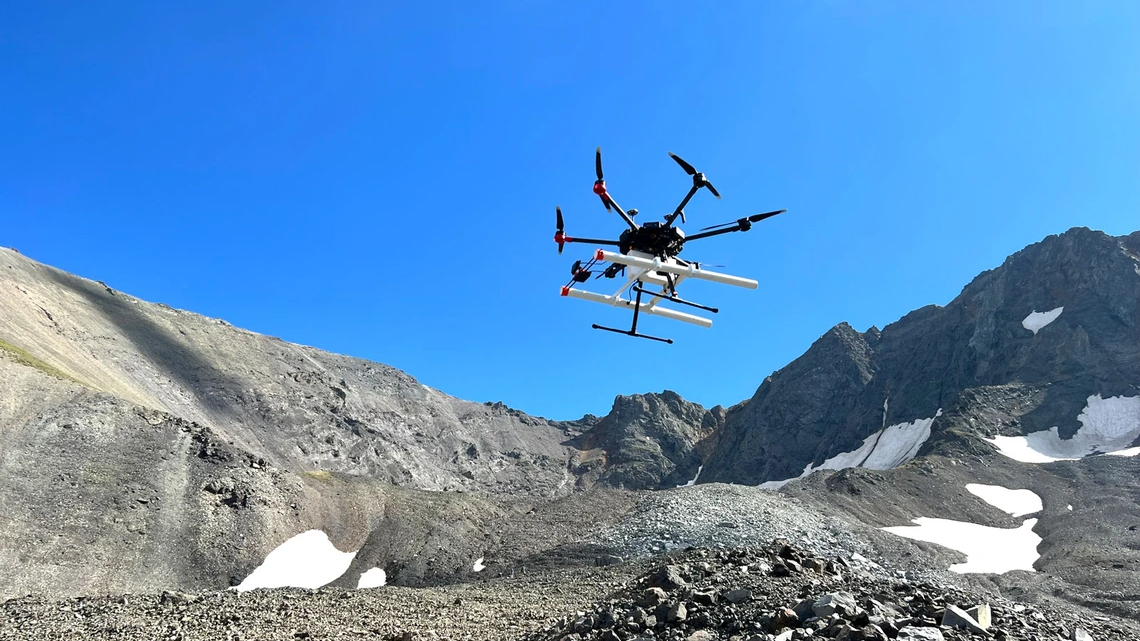
Scientists have demonstrated how drone-mounted radar can map buried ice with precision by flying the technology over Earth's glaciers. This capability could help future Mars missions identify optimal drilling sites for water ice.
Researchers flew radar-equipped drones over glacial regions, using ground-penetrating radar to create detailed subsurface maps of ice deposits. The technology revealed ice layers, thickness variations, and structural features beneath the surface without physical excavation.
Water represents a critical resource for Mars exploration. Astronauts will need it for drinking, oxygen production, and rocket fuel. Current methods for locating subsurface ice on Mars rely on orbital satellites, which provide limited resolution and cannot confirm exact drilling depth or accessibility.
Drone-based radar fills this gap. The technology operates close enough to the ground to capture fine details while remaining portable enough for spacecraft to carry. By testing this approach on Earth's glaciers, scientists validated the concept in environments with similar ice composition and burial conditions to what Mars rovers will encounter.
The research demonstrates that drones can quickly survey large areas and generate three-dimensional maps of subsurface ice before drilling begins. This reconnaissance work reduces drilling time, saves fuel, and prevents wasted effort drilling in barren locations.
Limitations remain. Martian dust storms could interfere with drone operations. The thin Martian atmosphere makes flight challenging, though NASA has successfully operated the Ingenuity helicopter there. Radar signals also perform differently depending on soil composition and ice purity, requiring calibration for Martian conditions.
The technology represents a practical step toward sustainable Mars habitation. Future missions could deploy small drones equipped with radar to survey potential landing sites. Data from these surveys would guide larger drilling operations and water extraction systems.
Researchers expect this approach to support NASA's Artemis program and international Mars exploration initiatives launching in the coming decades. By combining aerial reconnaissance with ground-penetrating radar, space agencies